


Met Éireann has updated its weather warnings with Storm Kathleen due to batter the country from early tomorrow morning.
A Status Orange wind warning will run for Galway and Mayo from 9am until 6pm, while the same will be in place in Cork, Waterford and Kerry from 7am until 2pm.
A Status Yellow wind warning has also been issued for the entire country from 5am until 8pm tomorrow.
People are being urged to be vigilant and prepare for the severe wind conditions.
The potential impacts of Storm Kathleen are likely to be:
- Very difficult travel conditions
- Fallen trees
- Some power outages
- Coastal flooding
- Wave overtopping
Cork County Engineer Niall Healy said the weather will hit hard in the morning but will gradually ease as the day continues.
"The peak period for the warning is the period between 7am and 9am on Saturday," he said.
"So we'd ask people to try and avoid travelling during those hours.
"The winds will slacken gradually as the day progresses so the worst of the impact is expected to be between 7am and 9am".
The low-pressure system described as 'significant and dynamic' is tracking off the west coast.
The National Directorate for Fire & Emergency Management (NDFEM) Crisis Management Team had a technical briefing with Met Éireann this morning.
National Director of the NDFEM Keith Leonard said people should take extra care tomorrow.
"Given the challenging wind conditions expected, I would urge members of the public to stay away from all coastal areas for the duration of the Met Éireann warnings," he said.
"Also, strong winds can make driving conditions hazardous – especially for the more vulnerable road users such as cyclists, pedestrians, motorcyclists and high sided vehicles – and road users should pay particular attention to the risk posed by fallen trees and flying debris.
"Importantly, I would remind people that it is critical that they never ever touch or approach fallen wires.
"Be sure to stay safe and stay clear of fallen or damaged electricity wires and, if you encounter any, do contact ESB Networks at 1800 372 999".
Mr Leonard said where power cuts do occur people should use the PowerCheck app to check for reconnection times.
Key safety messages
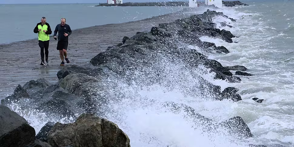
The public are advised to stay away from coastal areas during this period. The Irish Coast Guard is appealing to people to 'Stay Back, Stay High, Stay Dry'.
Road users should pay particular attention to the risk posed by fallen trees and flying debris.
There is a potential for tidal flooding in coastal areas. The storm could also bring localised heavy showers, which may lead to surface flooding in urban locations.
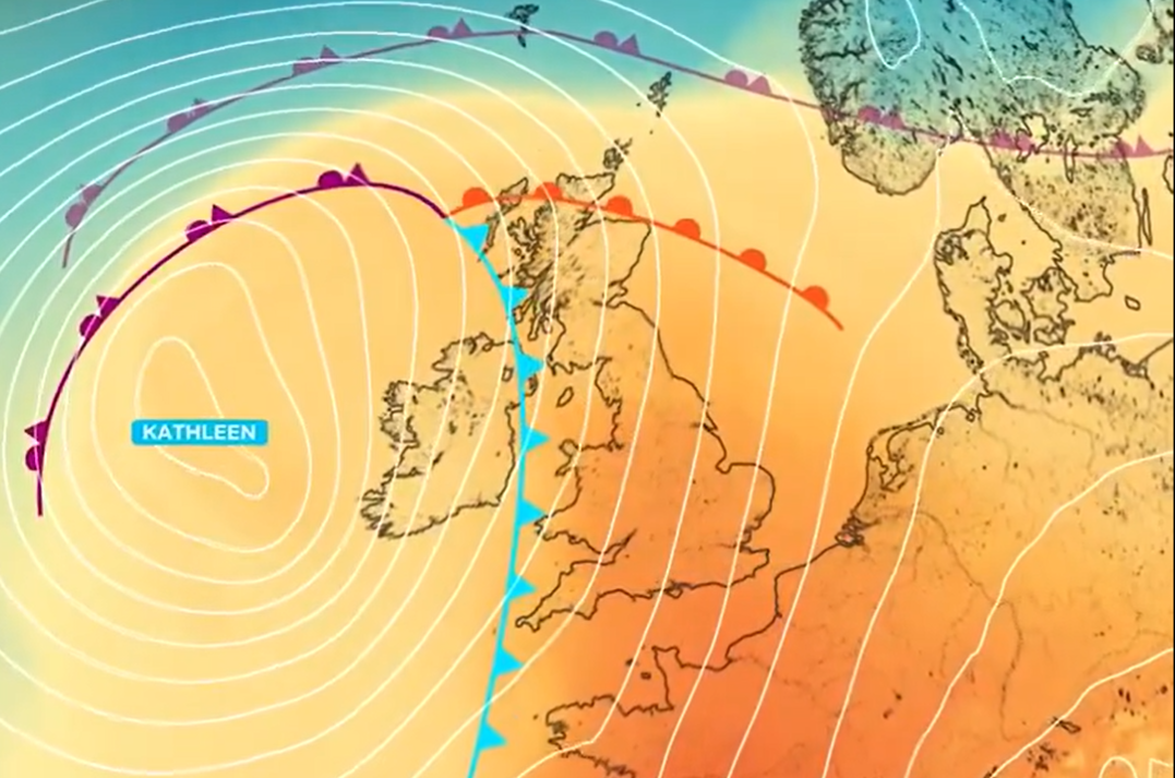 Storm Kathleen will reach Irish shores on Saturday morning. Image: X/@metoffice
People are reminded to never drive through flooded roads as the depth of the water can be deceiving.
People should also ensure their mobile phone is fully charged.
The NDFEM Crisis Management Team will continue to monitor developments and liaising with local authorities.


