


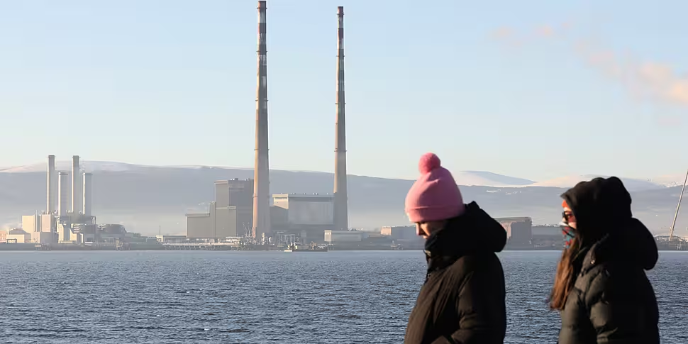
It was another cold night across the country on Wednesday, with a Status Yellow ice warning in effect.
The alert, in place until midday, forecasts icy stretches leading to hazardous travelling conditions.
Freezing rain is also possible in the southwest, along with freezing fog patches.
Freezing rain happens when the ground temperature is below O° and the air temperature is higher - resulting in rain falling and freezing as it hits the ground.
Frost & ice in parts this morning with hazardous conditions with rain & sleet across parts of the northwest & west for a time. ⚠️ 🥶
Generally dry with sunny spells though fog may set in across the southwest later. 🌤️
Highs of just 1 to 5°C in near calm. 🌡️ pic.twitter.com/L5xB2arhPQ— Met Éireann (@MetEireann) January 19, 2023
Alan O'Reilly from Carlow Weather told Breakfast Briefing it is another cold morning.
"It's down to -3.4° at my own station, and I can see that many areas are down to -2/3° again this morning," he said.
"So another very frosty morning across the country.
"There are some areas in the south-west that temperatures are a little bit higher, but there's also been some showers - which have been a mixture of sleet/snow.
"I'm not sure if I've seen any freezing rain yet, but there certainly was a risk of some freezing rain as well.
"So a very slippy morning for many parts of the country".
'Milder air'
Looking forward, Alan said it will get warmer by Saturday.
"It's still going to be cold through today, so there will be only a little thaw again today," he said.
"It will be mainly dry, though, showers will die out - but another cold night tonight unfortunately.
"So a cold start tomorrow as well and it will be icy again [tomorrow] morning and it'll be slow to thaw.
"We will see milder air then starting to move up and it'll start off in the south-west.
"By Saturday morning, really, we should be back to most areas having thawed at that stage.
"There may be some showers that could potentially fall as sleet and snow before turning to rain, but by Saturday afternoon temperatures will be back up well above freezing.
"By Sunday we're looking back up to 10°," he added.


