


A 'significant snow event' could be on the way, with forecasters preparing for a potential repeat of 2018’s Beast from the East.
Met Éireann has said temperatures will continue to drop in the coming days with a Siberian front due to move in from next Wednesday.
As those cold easterly winds move in, they could meet an Atlantic low-pressure front, potentially bringing heavy snow similar to 2018.
Met Éireann forecaster Siobhan Ryan told Newstalk that all “eyes are now on the weather for next week.”
“Temperatures are likely to turn even colder,” she said. “It is going to be really bitterly cold and wintery.
“We are going to see, basically, Siberian air move in over Ireland and, at that point, there will be the risk of sleet and snow showers.”
 Pictured Daffodils covered in Snow and Ice in Dublin after the Beast form the East Blizzard, 02-03-2018. Image: Sam Boal/RollingNews
She said things will “turn progressively colder over the next few days.”
“Not too much snow around though, for the weekend at least, but generally speaking, the temperatures are going to fall back.
“There will be a lot of cloud in over Ireland for the weekend and then by night, a lot of frost and ice.”
The Siberian front is the result of a weather phenomenon called a stratospheric warming event which occurred in the Arctic recently.
It is the same type of event that brought the ‘Beast from the East' to Ireland during Storm Emma in 2018.
That ground the country to a halt with a Status Red weather warning announced and people urged to remain at home where possible.
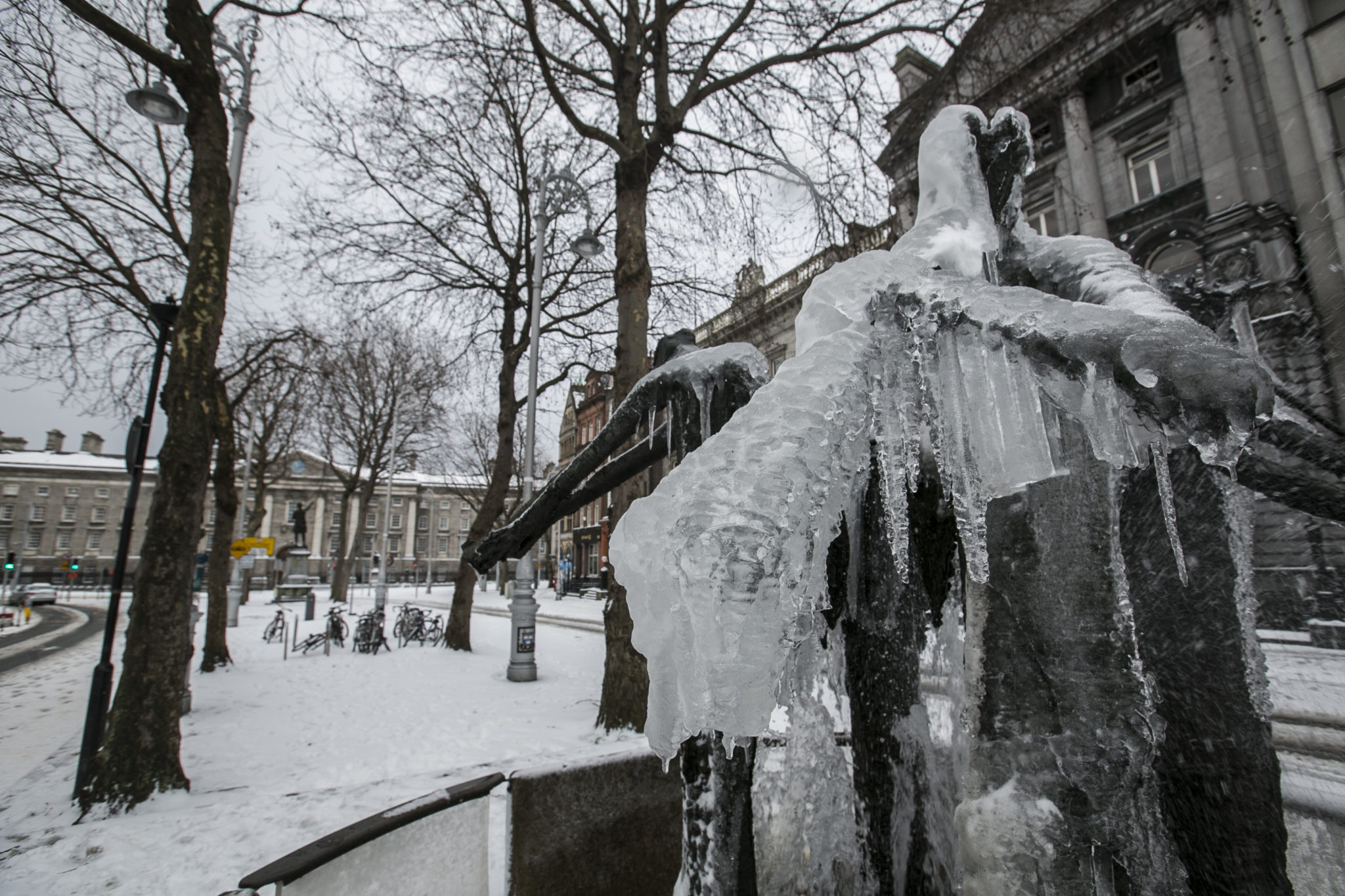 A statue covered in ice in Dublin City Centre after the Blizzard conditions of Storm Emma and the Beast from the East, 02-03-2020. Image: Sam Boal/RollingNews
Alan O'Reilly from Carlow Weather said the main snow risk will come in the middle of next week.
“The significant snow risk comes from when low-pressure systems come up against that cold air, Wednesday into Thursday and Friday,” he said.
“That is where you have a kind of similar setup to Storm Emma, which we had in 2018, where you have this continual heavy snow falling.
“However, at the moment, it is just impossible to say where exactly that will happen or if it will turn to rain.”
He said it all depends on whether the Siberian front meets the low-pressure systems building in the Atlantic.
“We could see a repeat of something similar with some very significant falls of snow,” he said. “Unfortunately, it just really impossible to give a definitive answer at his stage.
“Just be aware that it is going to get very cold and keep an eye on the forecast because they will continue to change over the coming days as we get closer to the possible event.”
East Leinster is expected to bear the brunt of the bad weather, with parts of the south also potentially affected.


