


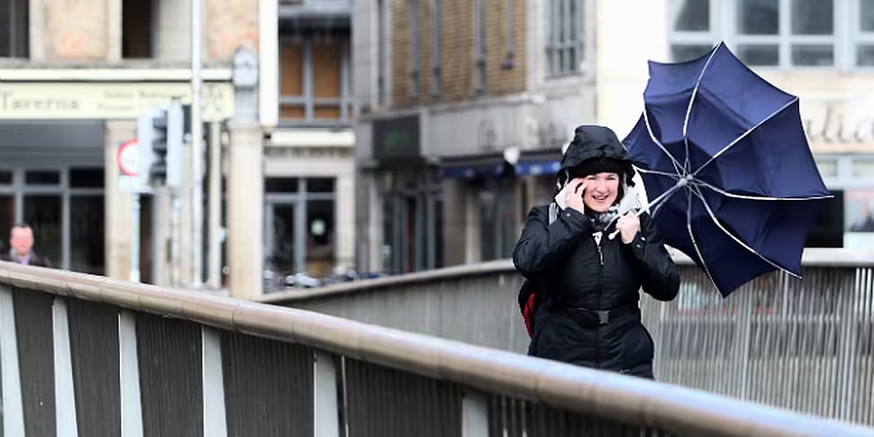
Met Éireann has issued a "status Orange" wind warning with gusts of over 120 kilometres per hour recorded this morning.
The most powerful winds so far have been felt in Ulster, with Connacht and Leinster also subjected to gale force winds of 80 to 100 kilometres per hour.
Met Éireann says the conditions have the capacity to "significantly impact on people in affected areas".

Some rain is also expected today, heavy in northern areas, but this will clear to isolated showers later and the winds are also expected to moderate.
Forecaster Pat Clarke says the conditions could cause some disruption in the capital.
Tonight will see some frost over Ulster and Leinster and temperatures down to zero or slightly below.
A few rain or hail showers over Ulster as well, and rather cloudy and misty elsewhere.
Met Eireann says the weather outlook over the weekend and well into next week looks set to be settled, with temperatures normal or slightly above average.
Severe UK weather
But we are not the only ones facing high winds, as parts of the UK have been told to expect some of the worst weather conditions for 30 years.
The British Environment Agency and Met Office say a combination of gale force winds and large waves threaten to bring "severe" flooding.
There are currently 25 severe flood warnings, 107 flood warnings and 59 flood alerts for England & Wales. Live flood warnings map:...
— Environment Agency (@EnvAgency) December 5, 2013
Forecasters have warned that sea levels in some places could be as high as in 1953's devastating flooding - when 326 people died in eastern counties of England and Scotland.
The Thames Barrier has been closed to protect London.
Damaging gusts of 90mph gusts are likely in the far north and northwest, while Scotland's Central Belt can expect gusts of over 70mph.
UK temperatures are due to plummet to as low as -4C overnight on Thursday in parts of Scotland.


