


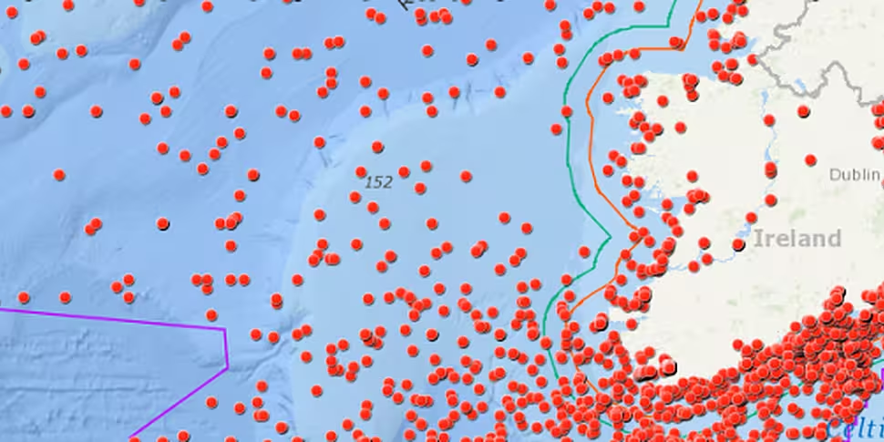
A new interactive map has been launched, offering members of the public information on thousands of shipwrecks in Irish waters.
The 'Wreck Viewer' is freely accessible online, and collates data from the National Monuments Service.
It features exact locations for around 4,000 recorded wrecks, while information for 14,000 other wrecks - cases where the location has not been fully confirmed - is available to download.
The shipwrecks range from 'prehistoric logboats to medieval trading vessels, warships and ocean liners'.
The Wreck Viewer holds information on 18,000+ known & likely wrecks both off the Irish coast & in our inland waterways. These wrecks span the entirety of maritime travel around & within the island, from prehistoric logboats to medieval trading vessels, warships & ocean liners. pic.twitter.com/TdsKhS83BQ
— DCHG / RCOG (@DeptAHG) April 25, 2018
Data about individual wrecks is also available, either by browsing the map or searching for a specific ship.
Launching the new map, Culture and Heritage Minister Josepha Madigan explained: "Of particular interest, in this decade of centenaries, are the stories of those wrecks from the First World War.
"Over 1,000 ships were lost off the coast of Ireland during that conflict, in effect bringing the Western Front to our shoreline and alerting the Irish people to both the grim realities of war and the scale of the tragic loss of life that took place on land and sea.”
She added that she hopes the new map will promote a "much greater appreciation and awareness of our marine heritage".


