Google Maps says it is expanding the information it gives users about public transport services.
The mapping application, which is marking its 15th anniversary, is rolling out several new features.
Google Maps was first launched for desktop back in 2005 to help people 'get from point A to point B.'
The service is now used by more than one billion people across the world every month.
It has mapped more than 220 countries and territories, with 'Street View' imagery available across 87 countries - as well as parts of the Arctic and Antarctica, featuring penguins.
Last year, it introduced 'crowdedness predictions' on public transport to help people see how crowded their bus or train was likely to be.
This is based on information fed to it by other commuters who take the services.
Google says it is adding other features to this - such as temperature, accessibility and security.
 The new Google Maps logo | Image: Google Maps
The 'accessibility' feature will identify public transit lines with staffed assistance, accessible entrance and seating, an accessible stop-button or hi-visible LED.
While 'security onboard' means people can report if security monitoring is in place - whether that is with a security guard present, installed security cameras or an available helpline.
Google says: "These useful bits of information come from past riders who've shared their experiences and will appear alongside public transit routes when available.
"To help future riders, you can answer a short survey within Google Maps about your experience on recent trips.
"We'll start rolling this out globally in March, with availability varying by region and municipal transportation agency."
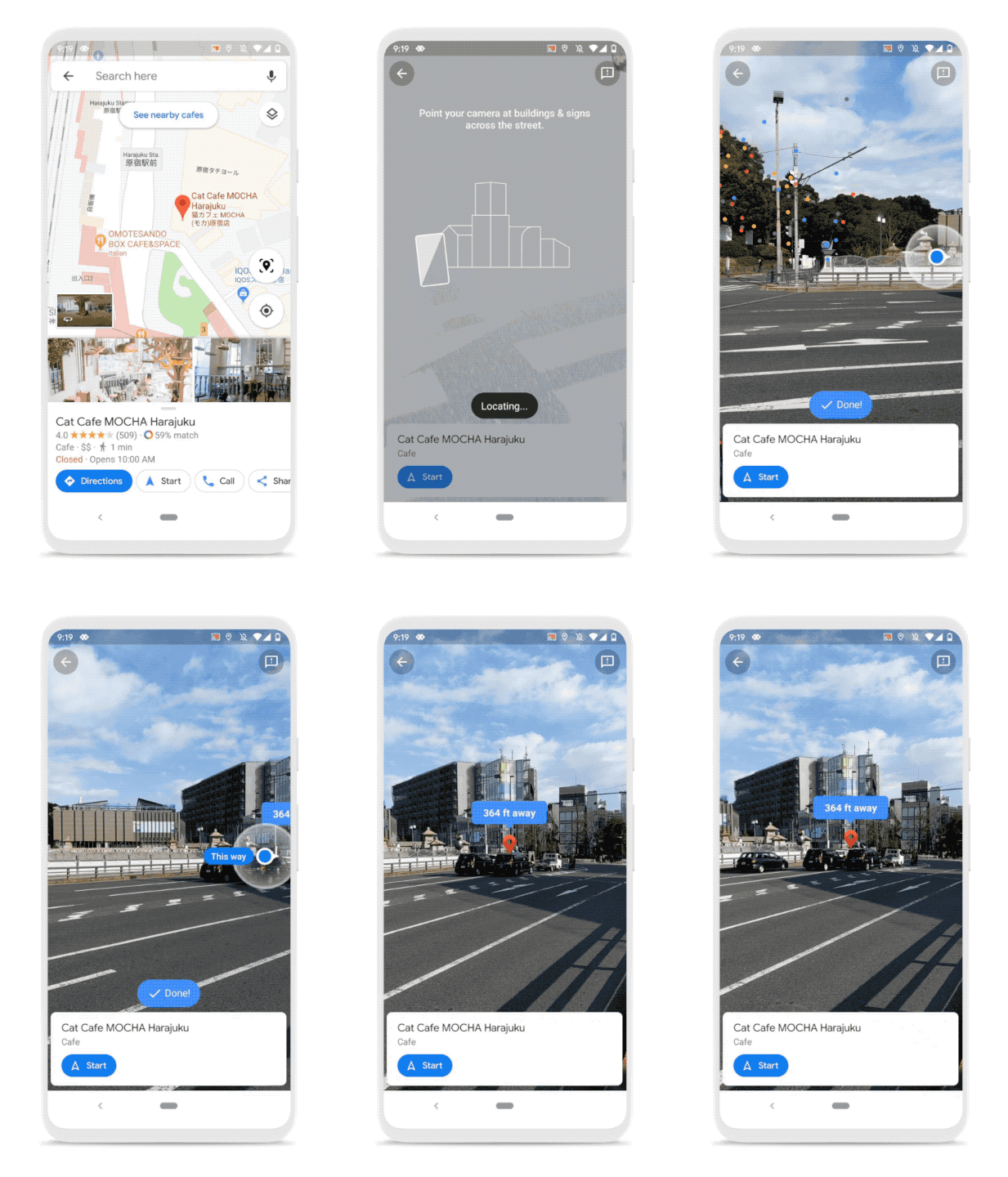
 An example of 'Live View' | Image: Google Maps
The map service is also expanding its 'Live View' - which combines Street View's real-world imagery and smartphone sensors.
"Over the coming months, we'll be expanding Live View and testing new capabilities, starting with better assistance whenever you're searching for a place", the tech company says.
The Google Maps logo is also being updated, which will be based on the 'pin' device that is used.


