


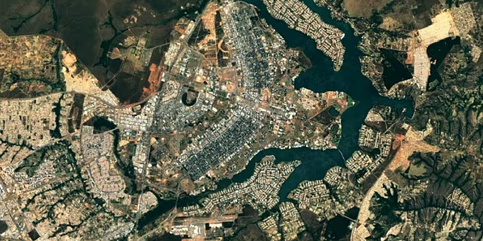
Finding your way through the world is going to become a lot easier now as Google Maps has been updated to use the latest satellite images from NASA.
The images are much higher quality than before, featuring greater differences in contrasts and shadows. Satellite images are often cloudy, so Google went through each image pixel by pixel to ensure as little cloud cover as possible.
The new look maps were stitched together with millions of images taken by the Landsat 8 satellite that NASA launched in 2013.

Landsat 8 has a much higher quality image sensor than its predecessor, the Landsat 7. It also captures twice as many images per day, allowing for even better chances of getting photos without clouds in the way.
Google will still use Landsat 7 for some images, but want to become less dependent on it since the satellite suffered hardware failure in 2013 that left some areas on their maps unusable because of large stripes cutting up the images.
Updates are now rolling out to Google Maps and Google Earth, so expect to see Ireland looking a lot clearer very soon.


