


Met Éireann has issued a week-long status yellow advisory for the country for "exceptionally cold weather".
It says next week will see significant wind chill and severe frosts.
Disruptive snow showers are also expected from next Tuesday onwards, particularly in the east and southeast.
The alert is in effect from Friday February 23rd until Friday March 2nd.
The forecaster says high pressure over Scandinavia is continuing to influence our weather with mostly dry conditions at first, but then becoming exceptionally cold and very frosty.
Saturday night will be dry with good clear spells and easterly winds.

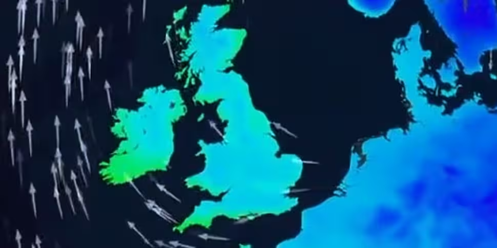
A large area of high pressure and easterly winds will move across Ireland on Saturday | Image via @metoffice on Twitter
But it will turn cold under the clear skies with lowest temperatures falling to between -2° and +1° with a widespread sharp frost.
Sunday will be a dry and sunny day.
However, it will be another cold day with top temperatures of just 4° to 7° degrees and in the moderate to fresh easterly breeze, it will feel colder.
Sunday night will be dry and clear in mostly light easterly breezes.
It will turn even colder with lowest temperatures falling to between -3° and 0° degrees with a widespread sharp to severe frost.

A cold front will be moving across Europe | Image via @metoffice on Twitter
Looking ahead to next week, it will most likely still be mainly dry on Monday with some sunny spells and perhaps the odd light snow flurry in eastern areas.
But Met Éireann says it will be very cold for this time of year, with daytime temperatures in the low single figures inland, and around 5° or 6° degrees on coasts.
It says it will be very cold on Monday night with a severe frost and the risk of snow showers along northern and eastern coasts in moderate northeasterly winds. Lows of -2° to -4°C.
It will turn progressively colder from Tuesday onwards with severe frosts and with snow showers becoming more widespread.
It adds that some disruptive accumulations are likely, especially in the east and southeast.


